Community Risk Assessment
Standards of CoverHow the department measures the risks Chesterfield Township faces, zone by zone, and sets the response it commits to for each one.
About the Community Risk Assessment
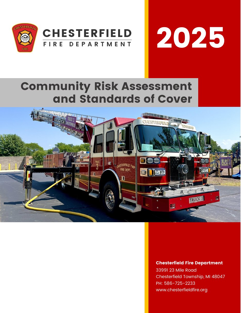
The 2025 Community Risk Assessment and Standards of Cover (CRA/SOC) is the department's formal study of what can go wrong in Chesterfield Township and how the department is organized to respond. It is a core part of the Commission on Fire Accreditation International model, and it defines the performance the department holds itself to.
The assessment began in 2023 with in-person surveys by on-duty crews, who looked for unique risks, characteristics and barriers to service in every corner of the township. The township was then divided into 11 planning zones that mirror census tracts, and the department contracted Darkhorse Analytics to score every zone for probability and consequence using five years of response data, GIS data and critical infrastructure information.
Chesterfield Township sits on the shores of Lake St. Clair in eastern Macomb County, bordered by Harrison Township and Selfridge Air National Guard Base, Macomb Township, Lenox and Ray Townships, the Village of New Haven, New Baltimore and Ira Township. Founded in 1842 and a Charter Township since 1947, it has seen tremendous growth over the past 25 years, and commercial and industrial development is expected to accelerate over the next ten.
Severe Weather
The most damaging events in the township's history have been severe weather. In 1964 an EF-4 tornado touched down in Chesterfield Township, killing 13 people and causing more than four million dollars in damage. In August 2023, heavy rainfall over two days caused widespread flooding and a presidential disaster declaration. These events are rare, but their impact is far greater than most other risks.
Transportation and Hazardous Materials
A busy Canadian National Railway freight line crosses the western half of the township, and M-3, M-29 and I-94 carry residents and interstate commerce, including goods moving to and from the Canadian border. A natural gas transmission line also runs through the township. Nine facilities hold hazardous materials in quantities that require them to report under SARA Title III.
The Built Environment
Commercial properties range from strip malls and big box stores of more than 200,000 square feet to multi-story hotels, concert and banquet halls and a movie theater, along with healthcare facilities and nine schools across two districts. Industrial occupancies include light and heavy industry, packaging, food production and metal recycling. Some of the township's oldest housing sits along the Lake St. Clair shoreline.
The Highest-Risk Zone
Zone 2211, south of Fire Station 1, ranks highest in the township for structure value, contents value, number of structures and total population, including residents under 18 and residents with disabilities. Its industrial and commercial corridor along Gratiot Avenue holds the township's largest concentration of facilities storing and using hazardous materials, and the CN rail line enters the township there.
Facts and Figures
| Zone | Population | Structure Value |
|---|---|---|
| 2211 | 7,108 | $1.8B |
| 2682 | 3,702 | $667M |
| 2228 | 3,087 | $472M |
| 2212 | 5,824 | $652M |
| 2225 | 3,994 | $495M |
| 2221.03 | 2,847 | $421M |
| 2221.04 | 2,931 | $308M |
| 2215 | 1,275 | $385M |
| 2218 | 5,005 | $707M |
| 2221.06 | 4,664 | $462M |
| 2221.05 | 5,046 | $663M |
| Measure | Figure |
|---|---|
| Population | 45,376 |
| Households | 18,461 |
| Median household income | $77,433 |
| Homeownership rate | 82.5% |
| Median age | 40 |
| Residents over 65 | 14.3% |
| Area protected | 29.92 square miles |
| Schools | 9, across two districts |
| SARA Title III facilities | 9 |